| Publications | Persons | Institutes | Projects | ||
|
Verbrugghe (1923, fig. 14)
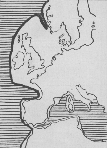
Description Het continentale plat. De kustgrenzen worden weergegeven indien de zeespiegel 200 meter zou dalen.
JPG file - 180.20 kB - 962 x 1 332 pixels
added on 2009-09-15431 viewsFrom reference Verbrugghe, L. (1923). La pêche maritime: La flotte rouge...
Click here to return to the thumbnails overview |

