| Publications | Persons | Institutes | Projects | ||
|
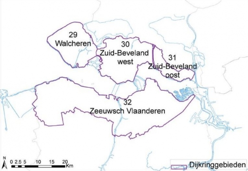
Kaart van de vier dijkringgebieden (29, 30, 31 en 32) langs de Westerschelde.
Description Kaart van de vier dijkringgebieden (29, 30, 31 en 32) langs de Westerschelde. Bron: Rijkswaterstaat, 2009.
·
This work is licensed under a Creative Commons Attribution-NonCommercial-ShareAlike 4.0 International License
Click here to return to the thumbnails overview |

